Our national network of certified team members includes GIS mapping experts, architects, drone pilots, consultants, and developers. We work closely with clients to provide the very best in advanced GIS solutions and technical innovation. Coastal Resource Mapping’s market includes Seattle, Spokane, Tacoma, and beyond.
Our full complement includes expertise in GIS mapping & analysis, strategy, project management, cartography, programming, IT, database management, administration, public affairs, and GIS industry training. Each one of Coastal Resource Mapping’s team members is a GIS professional having graduated from a highly intensive and exclusive post-graduate GIS program. Adding to this distinction, each of our team members’ academic and previous work backgrounds is varied, giving our US clients the best possible mix of expertise.
Our goal is to create a relationship with you and your business, and become your go-to GIS consultants for whatever your needs may entail.


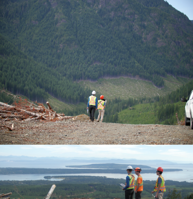
This major forest management company located on Vancouver Island, needed 3D representations of a select set of as-built roads for analysis after some construction cost overruns. The results of which would be used as a review of their current engineering practices on expensive and challenging road construction sites.
CRM’s GIS services allowed flights to be flown and data to be gathered to meet tight timelines for internal review of their operations. Data accuracy and level of data detail gave this company the information they needed to provide, with confidence, the construction analysis report for management. Options for included waiting for next fix-wing Lidar flights to capture information.
- Saved them a minimum of 1 year in time being available within days to visit sites when operationally safe to do so.
- Approximately 50x return on investment by providing supportive information regarding their expensive road construction practices
- Digital 3D models
- This major Forst Management company received digital 3D models of a recently build forestry roads in a format easily consumed by local construction design software.
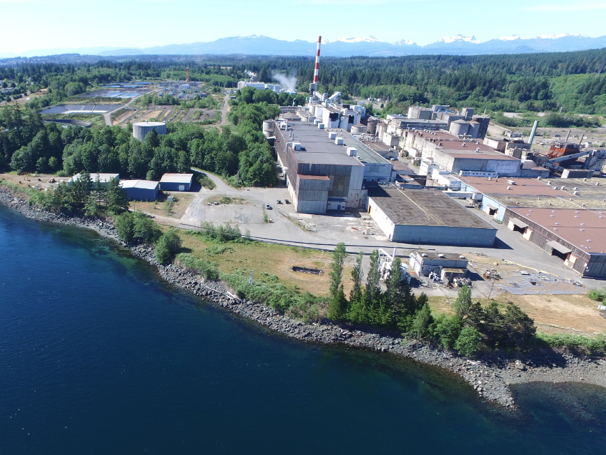
A British Columbia pulp mill was, after years of wrestling with their woodpile volumetrics, looking for a safer, and more efficient method.
At the center of their challenge was calculating the volumes of 5 different woodchip piles spread across a 35-ha property. The site involved a high degree of danger with large machinery in constant motion and the instability of the piles themselves. Slowing or shutting down operations for the volume estimates was not a consideration.
With CRM’s customized GIS solution, The mill increased its efficiency by dramatically reducing the time required to calculate volume estimates by 90%!
- Reduced overall costs by 80%
- Reduced injury risk by controlling the operations away for machinery and ongoing operations. (No CRM staff were required to climb unstable piles for measurements)
- Eliminated the requirement to shut down operations when calculating volumetrics
- Volumetrics (Woodchip)
- Monthly UAV/drone scanning of entire property for the purpose of mapping and calculating woodchip pile estimates.
Connect with us to schedule a complimentary webinar or one-on-one discovery call. Serving all of Washington State including Seattle, Tacoma, Spokane, and beyond.


